Resource Pack
Maps
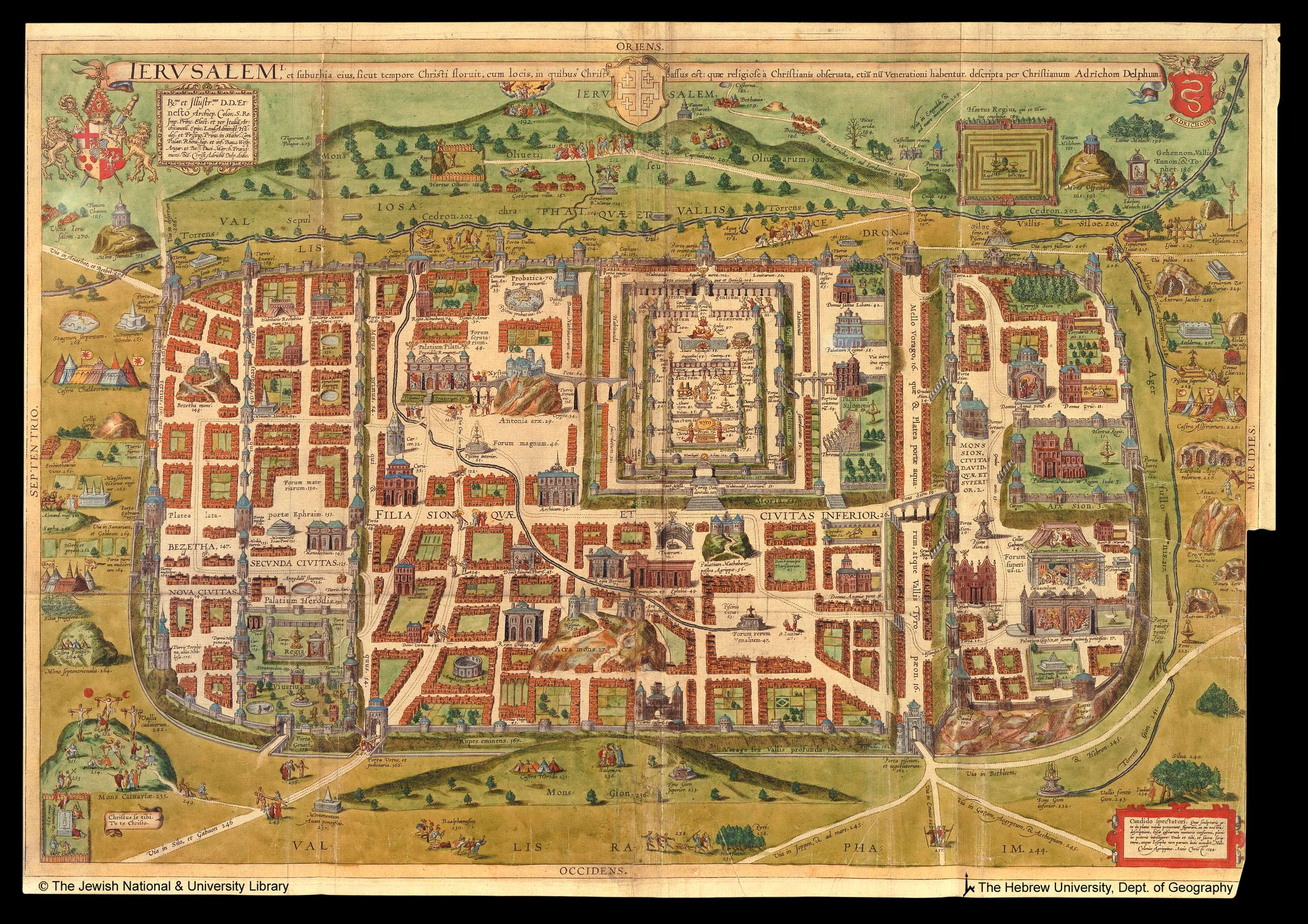
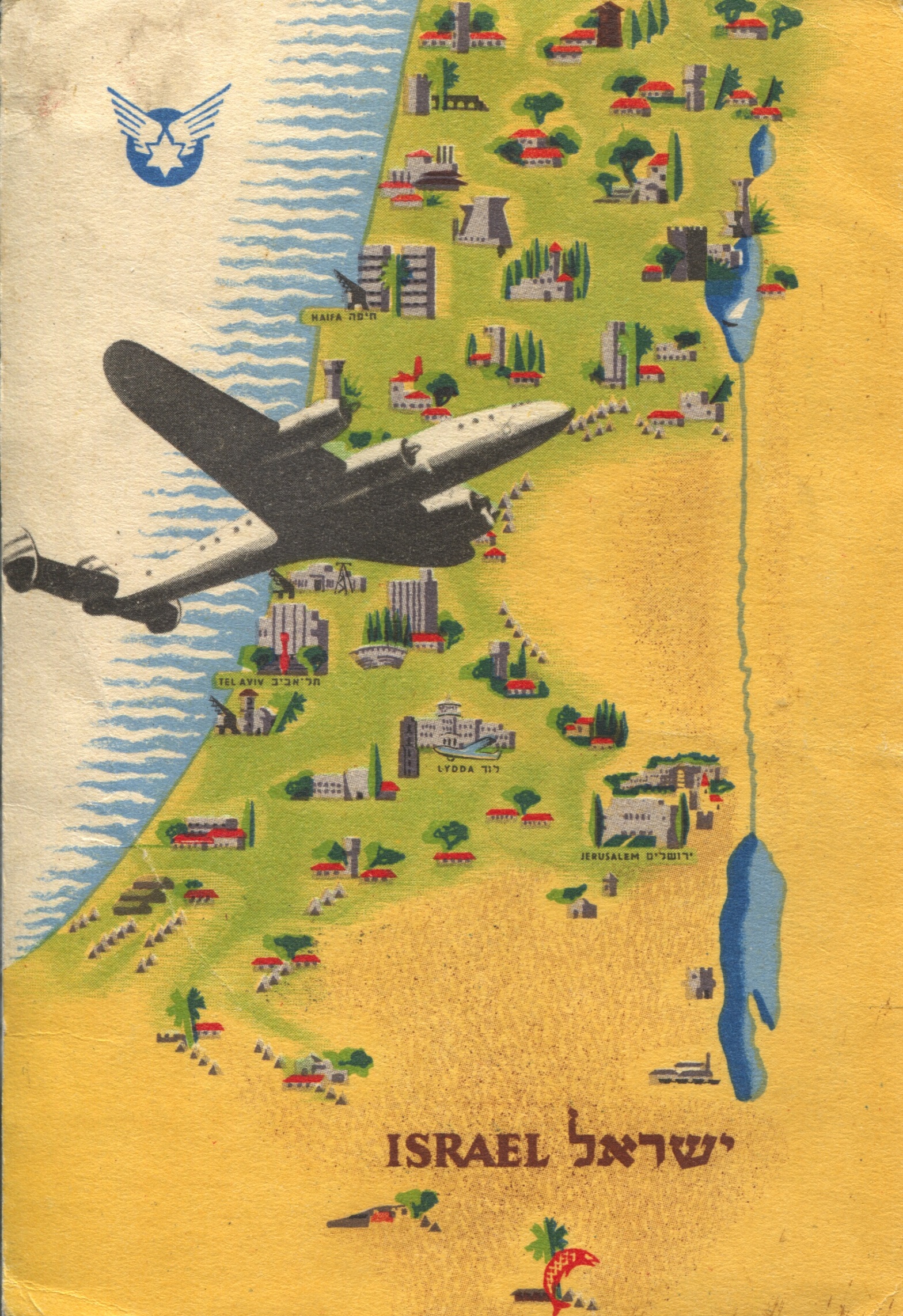
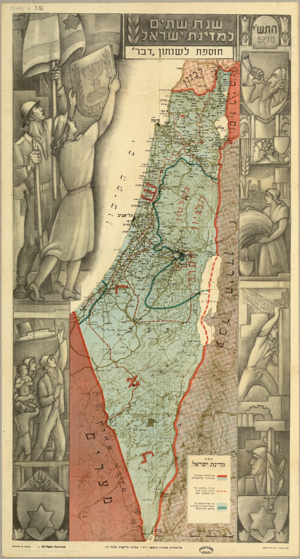
One of the National Library of Israel’s most impressive collections is the cartography collection with the world’s largest assortment of maps of the Holy Land and Jerusalem. This resource pack includes ancient maps created in both Europe and Israel, maps that appeared on posters and in books, scientific maps and imaginary maps, maps of modern and of biblical times. All the resources include detailed information, teaching suggestions, and discussion points.

Primary Sources


No items found.


.svg)
