Group Activity
- “Where am I?” game
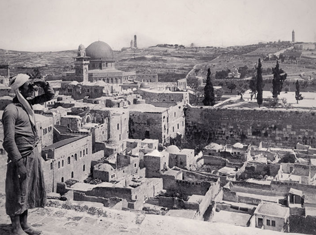
- “Then” and “Now” activity: Compare cities in Israel by matching historical photographs to more recent ones, on Docsteach with computers or using printed images.
Discussion Questions
Based on the comparison between the historical and recent photographs, discuss the changes that have taken place in Israel over the last 150 years.
- What did you learn from looking at the photographs? What has changed?
- What surprised you?
- Did you recognize any of the locations?
- What does a country need in order to develop?
- What conditions might make it difficult for a country to develop?
- What resources did Israel have and what was it lacking from the end of the Ottoman Empire to the early decades of the State?
- How do you think Israel managed to develop the country, absorb large numbers of new immigrants, and become a leader in innovation during the years you are examining?
- What type of progress do you anticipate for Israel during the next 50 years?
Creative Activity
Israel in 50 Years' Time
Pick one of the cities from the earlier matching activity.
Create an image of how you think it will look like in 50 years’ time:
What will the houses look like? What public buildings will there be?
What transport system will there be? What will the nature areas look like?
Planning a Driving Trip
Plan a driving trip to visit all of the cities from the matching activity.
Use Google “My Maps” to map your itinerary. Add photographs from the National Library to your map.
Click here for instructions for using Google My Maps or a video demonstrating the use of My Maps in the classroom.


.webp)


%20(2).png)


.webp)