Lesson Plan

Jerusalem in Maps - the Middle Ages

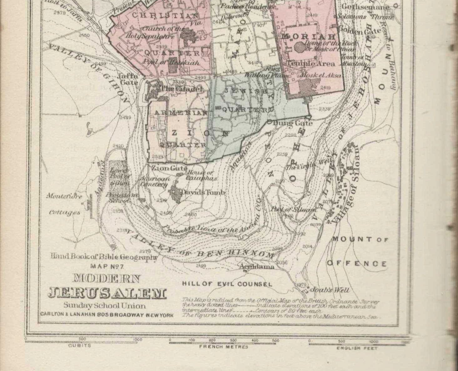
Have you ever wondered what Jerusalem looked like in the Middle Ages? Or how people imagined Jerusalem looked? With the large collection of ancient maps of Jerusalem in the digital library of the National Library of Israel, you'll be able to answer these questions and to explore Jerusalem and the people of the past who studied the Holy City.

Save/Print PDF

The National Library of Israel provides access to its large collection of ancient maps of Jerusalem: https://www.nli.org.il/en/discover/maps. Browse through the collection of maps and choose any interesting or beautiful map that catches your eye.

Look at the map, paying attention to:

  • Geographical area
  • Places
  • Inscriptions
  • Drawings

To explore the map systematically, follow the steps of the Primary Source Analysis Worksheet.


Teaching Aids
Age group:
Time:

Group Activity

The National Library of Israel provides access to its large collection of ancient maps of Jerusalem: https://www.nli.org.il/en/discover/maps. Browse through the collection of maps and choose any interesting or beautiful map that catches your eye.

Look at the map, paying attention to:

  • Geographical area
  • Places
  • Inscriptions
  • Drawings

To explore the map systematically, follow the steps of the Primary Source Analysis Worksheet.


Primary sources in this lesson

Primary source in this Game

No related primary sources found.

You may be interested

Clear filters

Jerusalem in Maps - the Middle Ages

Have you ever wondered what Jerusalem looked like in the Middle Ages? Or how people imagined Jerusalem looked? With the large collection of ancient maps of Jerusalem in the digital library of the National Library of Israel, you'll be able to answer these questions and to explore Jerusalem and the people of the past who studied the Holy City.

No items found.