Lesson Plan

Jerusalem Maps

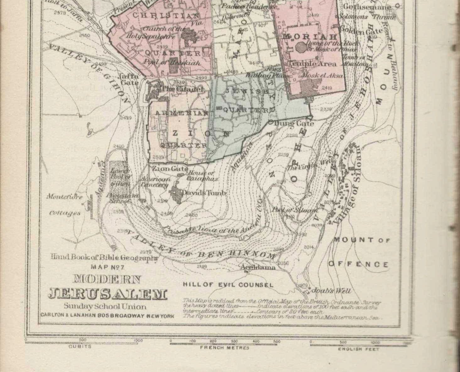
In this unit, learners will explore what can be learned about Jerusalem through historical maps of the city. Early maps of Jerusalem were produced by cartographers who had never visited the city, revealing that religious beliefs, narratives, and political priorities outweighed geographical reality. Students will then create a map of their own city.

Save/Print PDF

Step 1:

Present the following two maps of Jerusalem to your class. Discuss the similarities and differences of each map as well as its objective.

Christian Van Adrichem drew a map of Jerusalem in 1584 without ever visiting the city. The map is structured like a European town and features events and people in Jerusalem from the Old and the New Testament.

Modern Map of the Old City of Jerusalem from the Old City’s tourist website lists the names of the seven gates, the main streets, and some of the tourist sites available in all four quarters of the Old City.

Step 2:

In groups, analyze old maps of Jerusalem and use the worksheet to learn about the cartographers’ objectives, perspectives, and biases, and what the map tells us about Jerusalem. Each group is assigned one map, and the groups share what they learned with the class and compare the maps.

Age group:
Middle and High School
Time:
45 min

Group Activity

Step 1:

Present the following two maps of Jerusalem to your class. Discuss the similarities and differences of each map as well as its objective.

Christian Van Adrichem drew a map of Jerusalem in 1584 without ever visiting the city. The map is structured like a European town and features events and people in Jerusalem from the Old and the New Testament.

Modern Map of the Old City of Jerusalem from the Old City’s tourist website lists the names of the seven gates, the main streets, and some of the tourist sites available in all four quarters of the Old City.

Step 2:

In groups, analyze old maps of Jerusalem and use the worksheet to learn about the cartographers’ objectives, perspectives, and biases, and what the map tells us about Jerusalem. Each group is assigned one map, and the groups share what they learned with the class and compare the maps.

Discussion Questions

  • Is the map drawn to scale?
  • Can you identify two or three locations on the map?
  • Is the map oriented to the north, south, east, or west?
  • What does this map teach you about Jerusalem?
  • What was the cartographer’s objective, and what might their bias be?

Creative Activity

Using this template, learners create a map of three to five of their most-visited or favorite places. The completed maps are redistributed around the class, enabling them to learn more about their classmates from their maps.

Primary sources in this lesson

Primary source in this Game

No related primary sources found.

You may be interested

Clear filters

Jerusalem Maps

In this unit, learners will explore what can be learned about Jerusalem through historical maps of the city. Early maps of Jerusalem were produced by cartographers who had never visited the city, revealing that religious beliefs, narratives, and political priorities outweighed geographical reality. Students will then create a map of their own city.

No items found.
Middle and High School
45 min