.png)


Group Activity
With your class, watch the video about learning with maps.
Introduce ancient maps to your learners:
- Ancient maps can tell stories about how people understood the world.
- Many cartographers had not visited the places they drew. Instead, their depictions reflected religious beliefs, cultural perspectives, or particular worldviews.
- Symbols, animals, illustrations, and decorative elements were used to communicate messages about different regions.
- Size, placement, color, and the amount of details about locations reveal ideas about power, importance, popularity, or purpose.
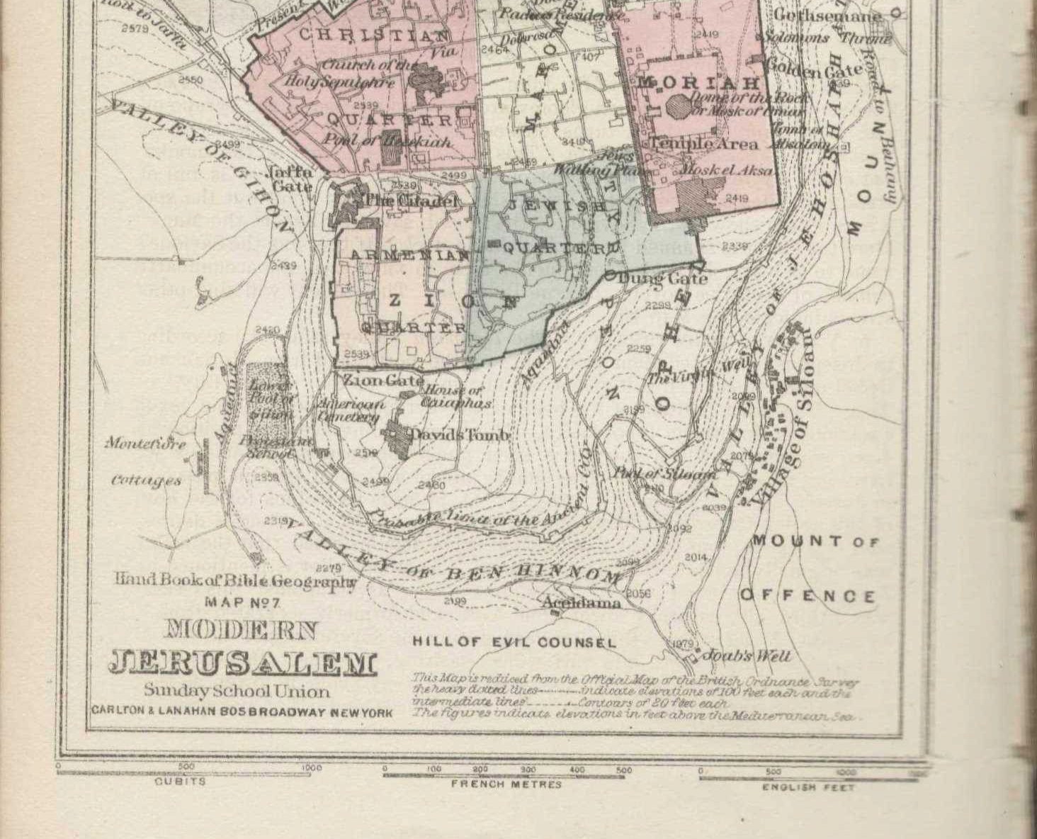
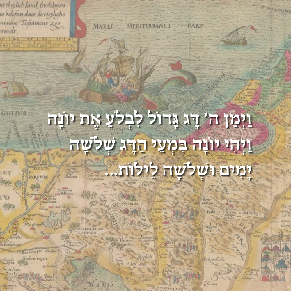
Using the worksheet, groups compare two ancient maps, identifying and analyzing important symbols, visual features, and perspectives represented in the maps. Groups then present their observations, analysis, and conclusions to the class.
Learners should use evidence from the maps to make observations, interpretations, and reasonable guesses. No prior knowledge is required. Speculation is encouraged as long as it is supported by details visible on the maps.
Discussion Questions
- Looking at the layout of the map, what is most important on this map? What indicates that?
- Who drew the map, and who was the intended audience?
- What story is the map trying to tell, and which values does it promote?
- What are the hidden messages in the map?
Creative Activity
Learners choose a perspective and map type to create an ancient-style map of their school, town, or favorite place using the mapping skills they have learned. Their map should show the shape, boundaries, and size of the location, including the layout of the important places. They should represent the distances between locations and any routes or connections that link them. To reflect the style of ancient maps, they may include symbols, labels, illustrations, and other decorative elements. The completed map should demonstrate both creativity and an understanding of geographic and spatial planning concepts.
.png)


.png)

.png)


.png)